
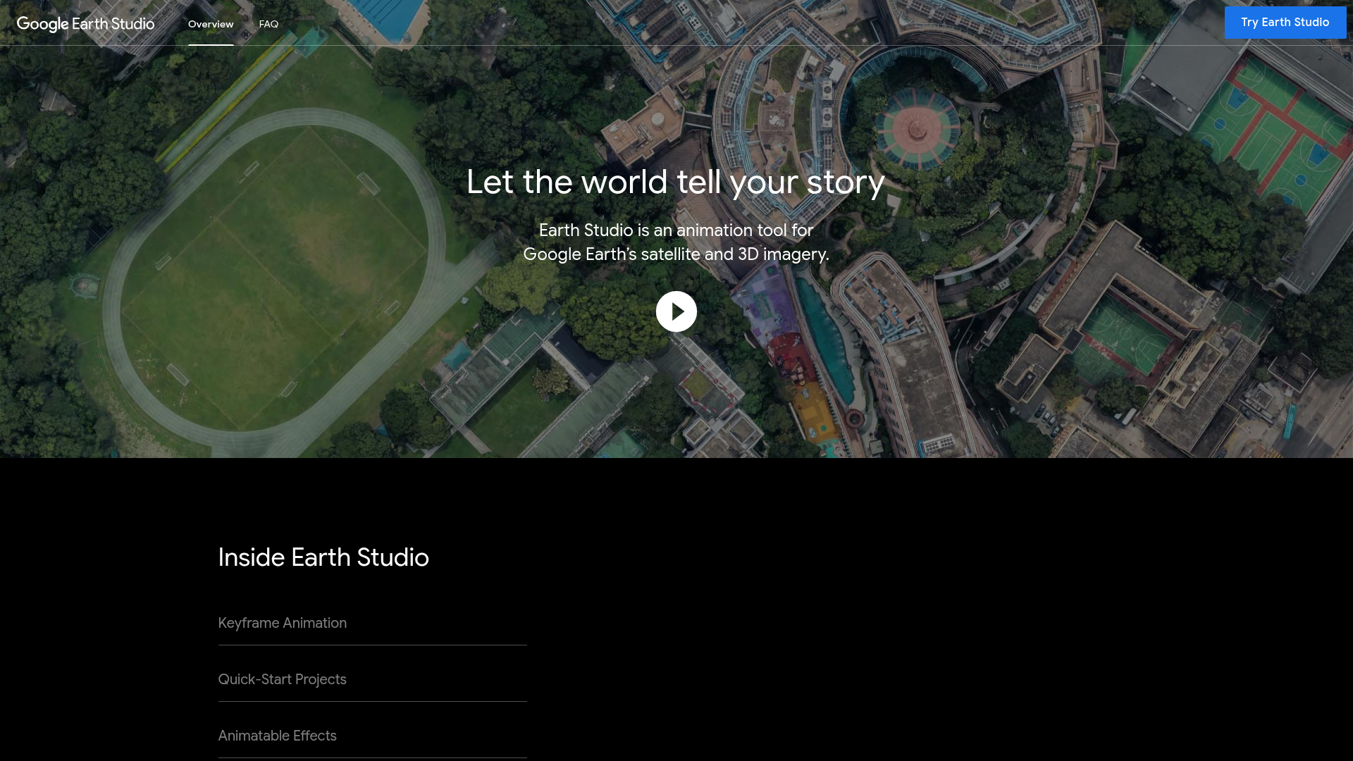
Google Earth Studio gives content creators access to the same cinematic Earth animation capabilities used by major TV broadcasters and news networks — all for free. Create dramatic location reveals, fly-through animations, overhead views of any location on Earth, and animated route maps using real satellite and 3D terrain data.
Cinematic Earth Fly-Throughs. Create dramatic camera animations that fly into any location on Earth — zoom from space to street level with satellite-quality imagery.
3D Terrain & Buildings. Google Earth's 3D photogrammetry data gives animations realistic depth — cities, mountains, canyons, and landscapes all rendered in 3D.
Keyframe Animation. Set camera positions, angles, and movement with keyframes — professional-grade animation controls without requiring video expertise.
High-Resolution Export. Export animations in HD or 4K quality — ready for YouTube, Vimeo, or any professional video production pipeline.
Historical Imagery. Access satellite imagery from different time periods — showing how places have changed over years and decades.
Quick Start Templates. Pre-built animation templates for common use cases — location reveal, orbital view, point of interest flyover — that you can customize.
Attribution-Free. Content created in Google Earth Studio can be used in creative and commercial projects with proper attribution to Google.
Who Is It For?
Video producers, journalists, and content creators who want to create animated flyover videos, geographic storytelling, or location-based visual sequences using Google Earth's satellite imagery. Particularly powerful for travel content, documentary-style videos, and educational geographic content.
For simple map illustrations or static graphics, standard mapping tools are much faster. Google Earth Studio has a learning curve and is best suited to creators who specifically need animated, cinematic location flyovers rather than basic map overlays.
Best Niches:
Pros and Cons
- ✅ Access to Google Earth's full satellite imagery database
- ✅ Create cinematic flyovers and geographic animations
- ✅ Free to use with Google account
- ✅ Professional keyframe animation controls
- ❌ Significant learning curve for non-animators
- ❌ Requires application approval to access
- ❌ Rendering can be slow for complex animations
Pricing
Google Earth Studio is free to use but requires approval from Google for access.
Summary
Google Earth Studio is a genuinely powerful tool for creating the kind of sweeping aerial perspective shots that used to require expensive drone work or licencing fees. For travel content, documentary narration, and geographic storytelling, it adds a distinct cinematic quality. Budget time for the learning curve — the interface is not immediately intuitive.