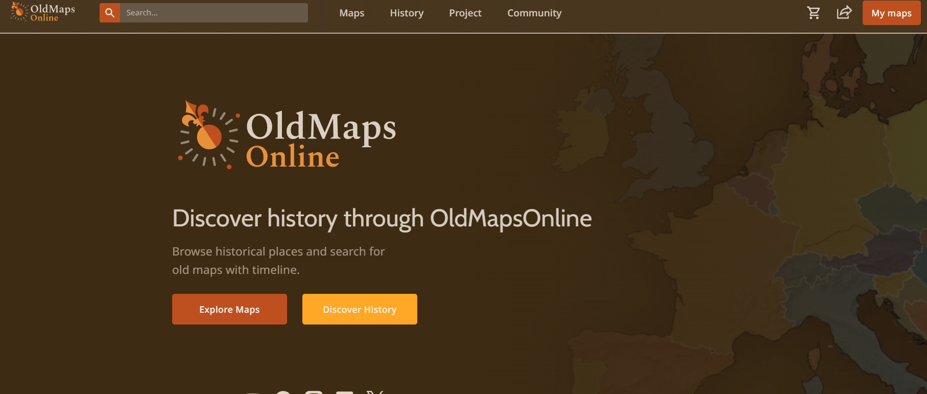
Showing how a city or region looked 100 or 200 years ago is the kind of visual detail that makes history and travel content genuinely interesting. Old Maps Online lets you do that research in a few minutes — searching by location and time period, then browsing maps from actual archives and universities that would otherwise require institutional access or a physical library visit. It's the kind of resource most creators don't know exists.
How it actually works. You type in a location — a city, country, region, anything really — and it pulls maps from multiple archives that cover that area. You can filter by time period, so if you want maps from the 1800s specifically, you can narrow it down. Click through to the source archive and you'll often find higher-resolution versions available for download. The interface is simple and the results come back fast.
Real archives, not replicas. The maps on Old Maps Online come from the British Library, the David Rumsey Map Collection, the National Library of Scotland, the Bodleian Library at Oxford, and dozens of other major institutions. These are genuine historical documents digitised and made available online. You're not looking at modern recreations — these are the actual maps people were using decades or centuries ago.
Most creators have no idea this exists. Typical creator resource lists point to the same stock image libraries and AI tools everyone already knows about. Old Maps Online is different — it's specific, genuinely high-quality, and rare enough that using it gives your research a clear edge. Historical maps are also visually distinctive, which makes them strong assets for thumbnails, overlays, and in-video graphics.
Who Is It For?
History channels, travel creators who want their location-based content to have real depth, documentary-style creators, teachers, and anyone making educational content about geography or culture. If your content touches any of those areas, Old Maps Online is an underrated tool that's worth spending an hour exploring.
Best Niches to Use With
Pros and Cons
- ✅ Free access to hundreds of thousands of historical maps
- ✅ Backed by major libraries and universities worldwide
- ✅ Search by location and filter by time period
- ✅ Links through to source archives for high-resolution downloads
- ✅ Unique research resource not found on typical creator platforms
- ✅ No account required to search and browse
- ❌ Coverage is stronger for Europe and North America than other regions
- ❌ Some maps require visiting the original archive site for full-resolution access
Summary
Old Maps Online is the kind of research tool that most creators walk straight past — and that's exactly why it's worth your attention. Free access to hundreds of thousands of historical maps from the British Library, Oxford, and archives worldwide. If you make history, travel, or education content and want your research to be better than what everyone else is doing, this belongs in your bookmarks.
Explore Old Maps Online Free →